Annual Report 2013
7
The county is constantly changing. When considering how to best plan for the
future, it is important to understand current conditions in the county and how
things are changing. This information can be valuable to businesses making
key investment decisions and to public officials who take various policy actions
that have long-term impacts on their community. Having the right information
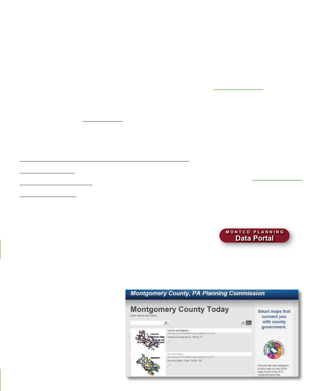
available when needed requires research and constant compiling of data. MCPC
offers this information in our
and in other databases, reports,
and geographic information system (GIS) mapping products.
In 2013, one of our commission’s major accomplishments was the launching of online
GIS maps. We also published several new inventory and demographic reports:
•
•
•
•
Working with the Public Safety and Board of Assessment Appeals departments, we
continued to develop and maintain the county GIS. During 2013, our staff developed a
variety of GIS products including:
• Maps to assist with the development of new form-based zoning codes in Narberth
and Norristown
• A series of maps depicting county assets and infrastructure
• Analysis of riparian buffers through aerial photography
• Maps for the county comprehensive plan
(including several
and
other publications
• The development of a database showing the
location of all schools and day care facilities
• Various types of maps and spatial analysis
products for other county departments
Over
4,000
visitors from
64
countries
access MCPC’s
data portal website


